



















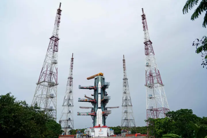
India is making significant strides in enhancing its navigation capabilities with the recent launch of its fourth satellite for the NavIC system. Have you ever wondered what this means for the future of navigation in India? This homegrown system, designed to provide accurate positioning information, is crucial not only for everyday users but also for various industries relying on precision. In this article, we’ll explore the implications of this new addition, the technology behind NavIC, and its potential applications.
By the end, you’ll understand why this development is a game-changer for navigation services in India and how it positions the country on the global stage.
Understanding NavIC: India’s Homegrown Navigation System
NavIC, or Navigation with Indian Constellation, is India’s answer to global navigation systems like GPS. It consists of a constellation of satellites that provide real-time positioning services. The recent addition of the fourth satellite strengthens its reliability and coverage.
This system is designed to deliver accurate information within India and up to 1,500 kilometers beyond its borders. What’s more, it operates in both the L5 and S bands, ensuring robust performance even in challenging environments. This means that users can expect improved accuracy and reduced signal interference.
Key Features of the Fourth Satellite
The latest satellite launch introduces several enhancements that are worth noting:
These features not only elevate user experience but also open doors for new applications in various sectors.
Applications and Impact
So, what does this mean for you? The advancements in NavIC can impact numerous fields:
Additionally, industries such as aerospace, maritime, and urban planning stand to benefit significantly from these advancements.
The Future of NavIC
With the successful launch of this fourth satellite, India is poised to expand its capabilities further. Future developments could include additional satellites, enhancing the network’s resilience and accuracy even more.
What’s exciting is that NavIC could eventually integrate with global systems, providing users with the best of both worlds. This means that as technology evolves, you can expect even more reliable and accurate navigation services.
In summary, the addition of the fourth satellite to India’s NavIC system not only enhances its functionality but also solidifies India’s position in the global navigation landscape. Embrace the future of navigation; it’s right around the corner.